
How We Navigated 1800 Miles Through the Caribbean in our First Year Sailing
- Oct 16, 2016
- 5 min read

"How do you know where you're going? Are you afraid of crashing? Are you scared of storms?"
This scene has replayed numerous time as me and my husband Ben just rounded out our first year of sailing the Caribbean full time. We're meeting a new friend for the first time, or catching up with old buddies, and sharing stories of our first year on the water, island hopping over 1800 miles on our sailboat, Wanderlust.
It was a long learning curve for Ben and me when we decided we wanted to learn how to sail, and spend a year at sea. Ben and I dove in (ahem, some might say, became obsessed with) learning about sailing and cruising, and gave ourselves a crash course into the world of navigation, routes, and weather patterns. Slowly, the "big dream" transformed into simple operating procedures, route waypoints, daily maintenance tasks, safety precautions and proper planning.
We wanted to share with you a little about how we pieced together the most important aspects of navigation and cruising, into a year of safe, awe-inspiring leisurely passages around the Caribbean.

Route Planning
In the beginning, we knew we wanted to head south through the Caribbean, but were clueless as to how to actually accomplish it. The logistics were daunting - like which islands to go to, where to anchor, how to get to shore, how to check into customs, where to buy food and parts, and how and when to best make passages.
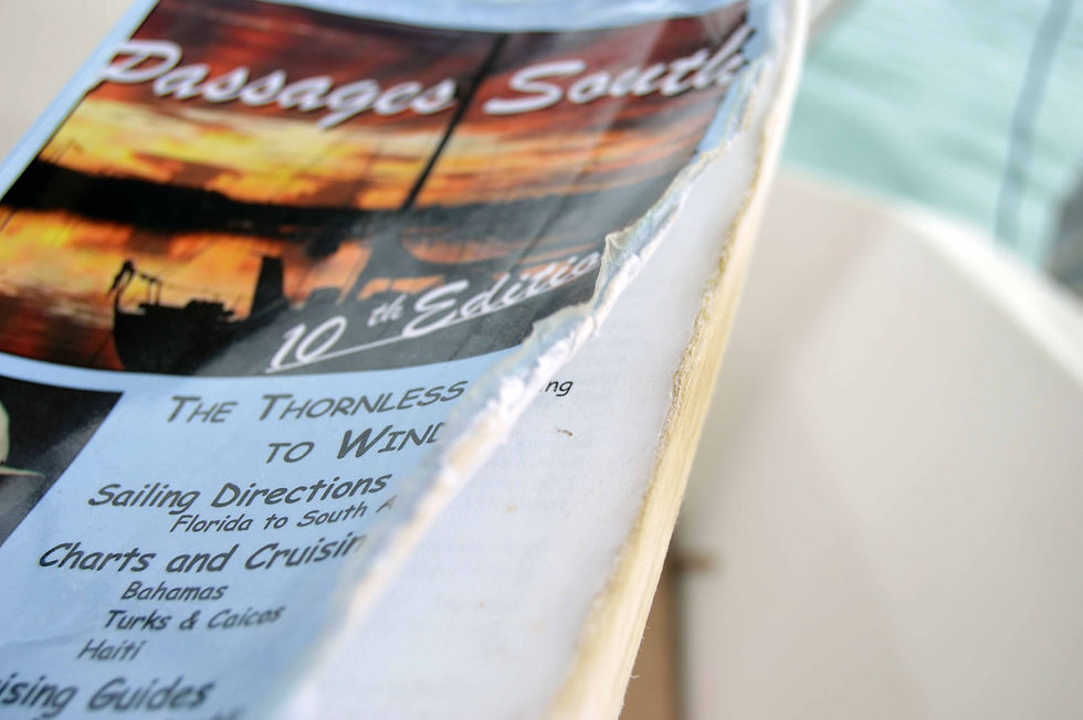
This is where our man, Bruce Van Sant saved the day. Van Sant is the author of the Caribbean sailing guide, "A Gentleman's Guide to Passages South - The Thornless Path to Windward," which was our Bible of Route Planning for the last year. It describes the route we wanted to take, beginning near Miami, and heading south through the Caribbean towards the Windward Islands.

The traditional route to the windward islands (which start as far south as Dominica) is famously called the "Thorny Path," because it takes sailors directly into the easterly tradewinds. Sailing into the wind can make passages extra rough, and sometimes lengthy if you have to tack back and forth to catch wind in your sails. However Van Sant has re-dubbed this route the "Thornless Path," by suggesting the easiest and safest ways to make passages toward the windward islands. His guide book seeks to "remove the thorns" from the each link in the chain of islands so that cruisers can make this journey "laid back, leisurely, comfortable, and safe." Now, that was right up our alley.
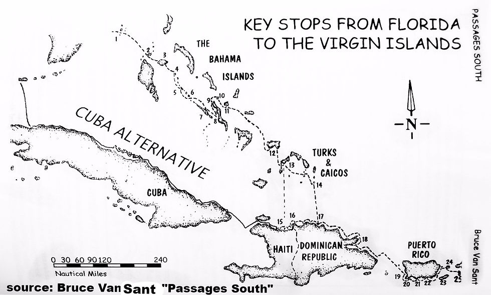
This book describes 195 anchorages, communications tips, immigration information, weather data, sail tecniques, sketches, and even tips on the best fishing and lobster spots. The longest required sail in this entire book is 36 hours. It gave us much of the information we needed to make informed decisions about passages.
Ben and I have both read this book cover to cover, multiple times each, and probably will read it again.
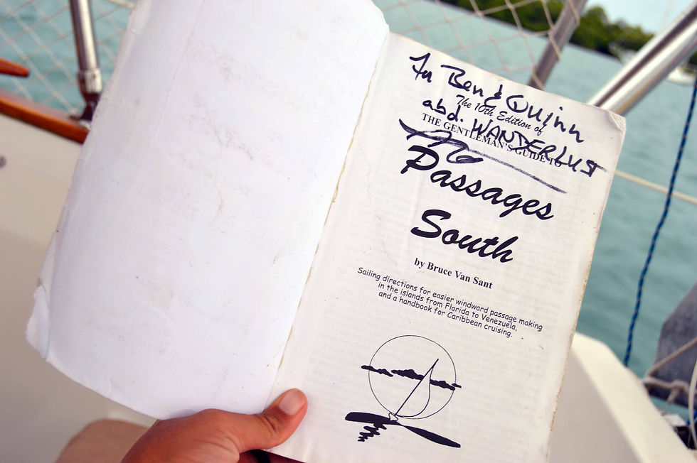
Once, when we spotted Van Sant at a marina, of course, we were too star struck to get a photo. We were almost too star struck to even talk to him! But, he was a friendly guy and was happy to hear of our successful journeys. He happily signed our well-worn copy of "Passages South!" We shook his hand and gave him a sincere thank you for guiding us through our first year of sailing.
Navigation
Modern tools have made ocean navigation much easier than ever. With GPS chartplotters, GPS enabled phones, and radar, our technology makes passage navigation safe and reliable. Gone are the days of celestial navigation, and paper charting with a sextant, although knowing these tactics is valuable in case our electronics go down.
Aboard Wanderlust, we use a Garmin GPS system (and an Iphone for backup), which is not unlike the one used in your car. It doesn't yell at you to "TACK LEFT IN 500 METERS" but it does allow us to plot a super simple route to our next anchorage. The route is programmed manually into the GPS based on the tips we learned from Van Sant, which islands we're interested in seeing, channels restrictions, and weather.

The GPS shows maps, depths, channel markers, distance to next destination, speed, obstructions, sunken ships, coral reefs, and anchorages. We plot our course around obstructions, in depths appropriate for our boat (at least 5 feet), and keep an eye out for floating debris or uncharted obstacles. At night, boats or debris will pop up on radar.
To put it into perspective, imagine using your Garmin GPS from you car, but instead of turning left and turning right and making a u-turn all the time, you're just following a straight line (which is the case most of the time in open water) at 7 miles per hour, maximum. Yep, that's right, our sailboat travels about HALF the speed of a golf cart, which means we've got plenty of time to respond to obstacles, as long as we're paying attention. And hitting land is unlikely while underway, unless we've fallen asleep at the wheel or run aground in uncharted shallows (knock on teak!).
Understanding Weather
While sailing for the last year, the weather has become the absolute BOSS of our journey. If the weather says sunny skies and good winds, we go. If the weather says strong winds and rough seas, we stay. If the weather says haul ass outta dodge, we certainly haul!

Our days are centered around the wind speed and direction, the wave height, and storms. Every morning, we listed to the marine weatherman, Chris Parker, who transmits a regional weather report via SSB radio daily. Since we don't need internet or cell service to receive his broadcast, we can still get important weather data even in the middle of the ocean. If we are lucky enough to have cell service, we use our favorite apps (WindyTV, Windfinder, MyRadar) to see what we're up against for the day.

Understanding and paying attention to the weather is how we ensure that our sails are safe and enjoyable. If the weather sounds not-so-good, then we'll choose a different day to travel. It is one of the most beautiful parts of the cruising life - no hurry! We're willing to wait (sometimes weeks) for the right days to travel to make sure our passages are as risk-free as possible. Could there be an unexpected squal that blows our socks off - yep! and we've got to have our wits about us and be prepared for unexpected instances like this.
So, the answers to all these questions we get from our friends - YES. Yes we were afraid of storms, of running aground, of inaccurate charts and uncharted obstacles, and still are scared! But, we can make our passages as safe and as enjoyable as possible by employing some of the tools learned from research and practice.
We still have to be prepared for the worst, and this isn't to say every sail is cocktails in the cockpit, sun tanning, catching huge mahi, audiobooks, and boat yoga, but... some days it is. And those are the days that make it all worthwhile!
Thanks for Reading,
Ben, Quinn and Ruca


Comments